An unmanned vehicle has no pilot to notice that something feels wrong. Whether it flies, drives or floats, it must know at every instant where it is, how fast it is moving and which way it is pointing, and it must keep knowing when the signals it relies on disappear. That is the job of an inertial navigation system (INS).
What an INS measures
At the heart of an INS is an inertial measurement unit (IMU): three accelerometers and three gyroscopes, mounted at right angles. The accelerometers measure how the vehicle speeds up and slows down along each axis; the gyroscopes measure how fast it rotates about each axis. A processor integrates these measurements hundreds of times a second to work out attitude (roll, pitch and heading), velocity and position.
Because it relies only on the physics of motion, an INS needs nothing from outside the vehicle. It cannot be jammed, it works underground and underwater, and it responds instantly: it reports a change in attitude as it happens, which is what an autopilot needs to keep a vehicle stable.
Why not just use GNSS?
Satellite navigation (GNSS: GPS, Galileo, GLONASS, BeiDou and India's NavIC) gives an absolute position that does not drift. But its signals are weak by the time they reach the ground. They are blocked by buildings, tunnels, tree cover and terrain, reflected by nearby surfaces, and can be jammed or spoofed deliberately. GNSS also updates only a few times a second and says little directly about attitude.
The two are complementary. An INS is smooth, fast and self-contained but drifts over time, because small errors in its sensors add up. GNSS is absolute but intermittent and vulnerable. A GNSS-aided INS fuses the two, usually with a Kalman filter: GNSS continually corrects the INS drift, and the INS carries the solution through outages and fills in between GNSS updates. Some systems also detect when GNSS is being jammed or spoofed and stop trusting it.
What changes between air, land and sea
- Aerial vehicles (UAVs and drones) need high update rates for flight control and very low size, weight and power. For a small drone, every gram counts.
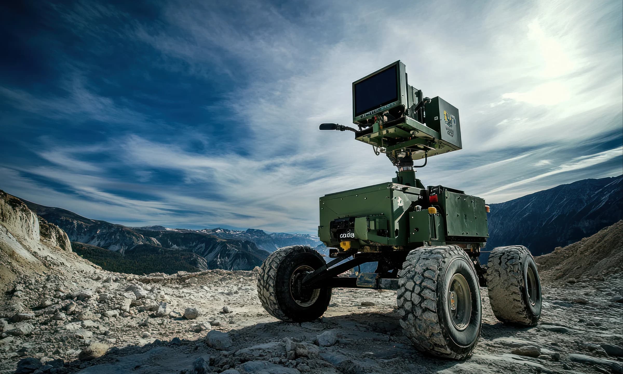
- Ground vehicles (UGVs) can carry more, and can add aiding sensors such as wheel odometers, which sharply reduce drift when GNSS is lost. Vibration and shock from rough ground are the main environmental challenge.
- Surface and underwater vehicles lose GNSS entirely below the surface, so they depend on the quality of the inertial sensors themselves, often aided by speed logs or acoustic positioning.
Grades of performance
The sensors decide how long an INS can navigate alone. MEMS (micro-electro-mechanical) sensors are small, rugged and affordable, and modern MEMS units reach what the industry calls tactical grade. Fibre-optic gyroscopes (FOG) are larger and costlier but far more stable, so a FOG-based INS drifts much more slowly in long GNSS outages. The figure to compare is gyro bias instability, in degrees per hour: the lower, the better.
Aeron's range shows the spread:
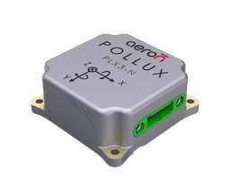
- Pollux 3 is a micro-miniature MEMS INS-GNSS for small UAVs, UGVs and robots: 37 × 37 × 15 mm, about 38 g and under 1.5 W, with navigation output at up to 200 Hz, raw IMU data at up to 1000 Hz, a 2 °/hr gyro bias instability, multi-constellation GNSS including NavIC, and jamming and spoofing detection. It accepts external airspeed and magnetometer aiding.
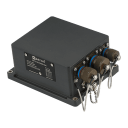
- Octantis is a rugged MEMS INS-GNSS for land vehicles and larger platforms. Octantis 3 adds a dual-antenna GNSS receiver for true heading independent of motion.
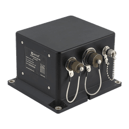
- Aldebaran is a FOG-based INS with 0.1 °/hr gyro bias instability, and position error of 0.5% of distance travelled with an external odometer, for platforms that must navigate for long periods without GNSS.
Navigating when GNSS is gone
How an INS behaves in a GNSS outage is the real test. Two of Aeron's own trials show what is possible with a small MEMS unit. In a flight with ArduPilot, a UAV using Pollux 3 had GNSS switched off and flew on using the INS aided by airspeed: over a GNSS-denied path of about 4.2 km, the drift was 168.6 m (see Pollux 3 and ArduPilot). And Aeron's DriftLoc algorithm on Pollux 3 keeps pure-inertial drift low with no GNSS, odometer or other aiding at all (see Introducing DriftLoc).
Integration
An INS is only useful if the vehicle's computer can use its output. Aeron units output NMEA and a binary protocol over serial interfaces, and Pollux 3 has a ROS2 driver for robotics software stacks (see INS-ROS2 integration). Mounting matters too: the unit should be fixed rigidly, close to the vehicle's centre of rotation, with its axes aligned to the vehicle's and, if it uses a magnetometer, away from motors and steel.
Choosing an INS
Start from the mission: how long the vehicle must navigate without GNSS, how much drift is acceptable in that time, and how much size, weight and power the platform can spare. Those three answers usually point to a sensor grade, and from there to a product. To talk through your platform, contact our engineers or compare our INS side by side.